


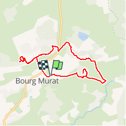

9.5 km | 22 km-effort


User


FREE GPS app for hiking
 SityTrail
IGN / Geographical institutes
SityTrail World
The world is yours!
Trail Walking of 10.5 km to be discovered at Réunion, Unknown, Le Tampon. This trail is proposed by Fdum.
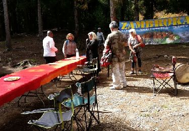
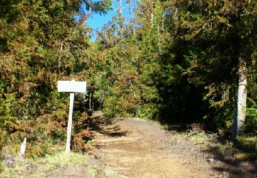
Boucle sympathique pour découvrir BOURG MURAT. Ascension du piton DUGAIN en azimut brutal (Sur cette trace). Sinon il faut rester en bas et suivre ensuite les tuyaux.

Walking
Trail
On foot
Walking

Walking
Walking
Walking
Walking
Walking